
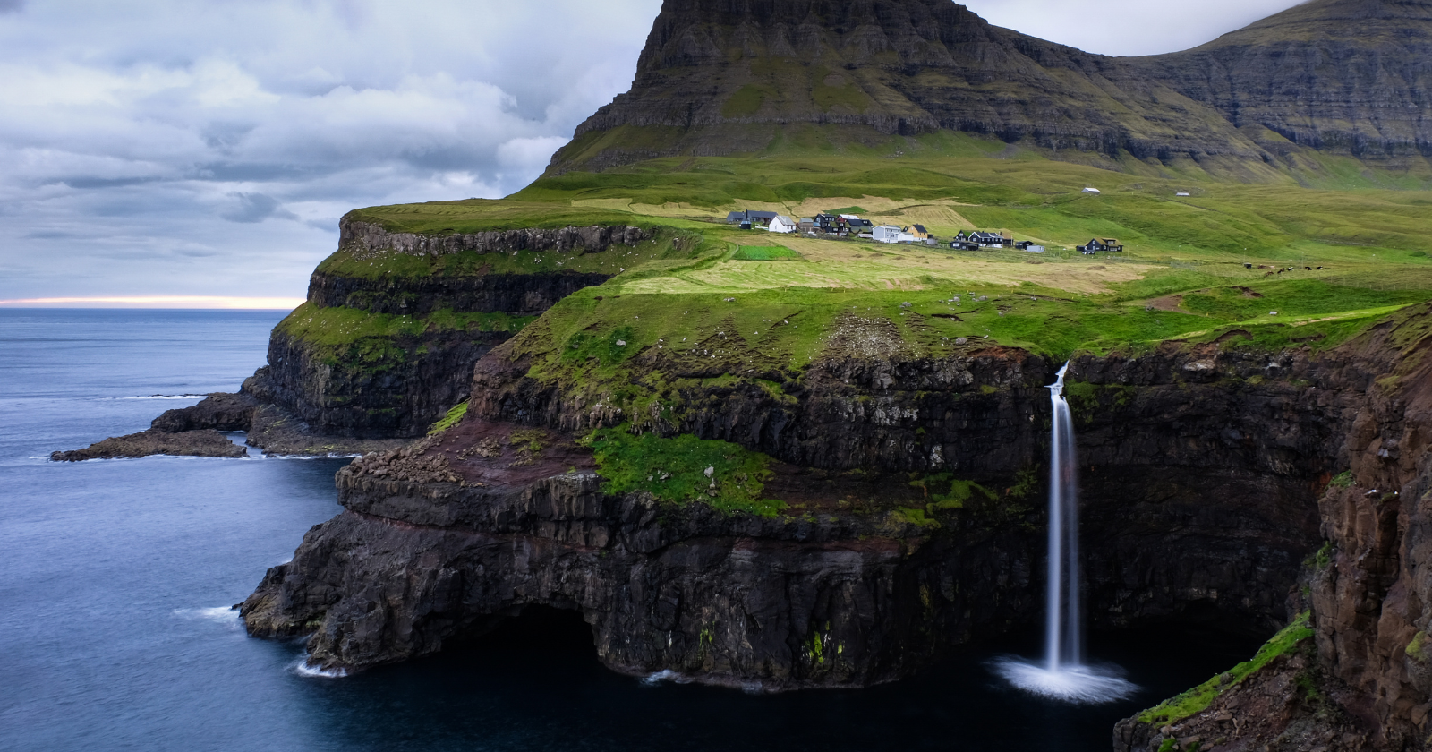

Google Street View had reached the summit of Mont Blanc and points above the Arctic Circle. It had not reached the Faroe Islands, an 18-island cluster in the North Atlantic between Iceland and Norway.
By Google’s own account, about 50,000 people share the place with 70,000 sheep. The name itself means Sheep Islands. And on the one map most of the world reaches for, the archipelago was a blank.
What happened next is one of our favorite examples of a small player refusing to wait its turn. Rather than lobby, complain, or sit tight for a camera car that showed no sign of coming, the Faroese built their own version of Street View, using the one resource they had in surplus.
Two very different ways to photograph a country
Google’s method is industrial. Camera cars for roads, backpack-mounted rigs for trails a car can’t reach, all of it feeding a pipeline that stitches the frames into the smooth panoramas you drag around with your mouse. Scale as a strategy.
The Faroese answer, launched in July 2016 by Durita Dahl Andreassen of the tourism board Visit Faroe Islands, was closer to a farmyard hack. The team fitted a handful of free-roaming sheep, five to begin with, with solar-powered 360-degree cameras in custom harnesses. As the animals grazed and wandered the roads, the cameras took GPS-tagged photos that got uploaded to Google Maps. Sheep View 360, they called it.
The logic was almost too neat. “We have more sheep than people; they are everywhere in they Faroe Islands, they walk the streets, so they were an easy solution,” said Guðrið Højgaard, director of Visit Faroe Islands. “Knowing that we are so small and Google is so big, we felt this was the thing to do,” Andreassen said.
No budget, but a very good hook
The small side didn’t have Google’s engineering or its map. What it had was a story that wrote its own headlines. The campaign paired the sheep footage with a petition and the hashtag #wewantgooglestreetview, and images of a curious ewe wearing a camera rig did the rest. The whole thing ran on a $200,000 budget and, by the campaign’s own tally, generated an estimated two billion media impressions.
As Højgaard framed the problem, Google Street View is widely seen as the default map of the world. “We know that Google Maps and Google Street View is synonymous with the world map today, that’s what everyone uses, and we were not on Google Street View,” she said, “which is why we wanted to see if we could get them to come here.” The point of the sheep was never really the sheep. It was to make Google notice.
It worked fast. Within about two months, Google replied on the company blog, with a pun it clearly enjoyed. “When we herd about the Sheep View project, we thought it was shear brilliance,” wrote David Castro González de Vega, a Google Maps program manager. Marketing copy answering marketing copy, landing exactly where the Faroese wanted it to.
How the standoff resolved
The reply came with equipment attached. In 2016, Google supplied a Street View Trekker and 360-degree cameras through its camera loan program, so residents could keep filming the places a car would never reach. The official Google Maps coverage of the islands went live when the Google Maps team arrived in 2017.
The campaign kept paying out. Sheep View 360 collected a stack of international marketing awards, including the top prize in Travel & Tourism at the 2017 World Media Awards, where it finished second overall across seven categories, ahead of names like Airbnb and Marriott.
What we take from the two approaches
The contrast is what stays with us. One side had near-infinite scale and had simply skipped the archipelago because it wasn’t a priority. The other side had almost no money and a population of livestock, and turned both into an asset rather than an excuse.
The move that mattered wasn’t the petition or the hashtag. It was that the Faroese built a working, if scruffy, version of the exact thing they’d been denied. The sheep really did capture usable, GPS-tagged panoramas that went onto the map. That is the difference between asking to be included and showing what inclusion would look like. Once the images existed and the story was everywhere, ignoring the place became the awkward option, not the easy one.
Waiting would have been reasonable. Google gets to remote corners eventually, and the Faroes would probably have shown up on Street View in time regardless. But the smaller player didn’t win by being patient. It won by making its own inclusion the obvious next step, and by proving, with a few sheep and a solar-powered camera, that the map it wanted was already half-built.