
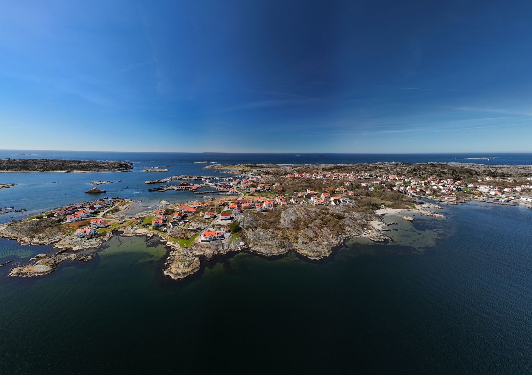

Along the northern Baltic coast, the boundary between land and water is moving in a direction that feels backwards. Shallow bays narrow, islands join one another, and former seabed slowly becomes dry ground. The ocean is rising, but in parts of northern Sweden and Finland the land is rising faster.
The maximum is close to one centimetre a year around the Gulf of Bothnia. That is quick by geological standards and almost impossible to notice from one day to the next. Across a lifetime, though, it can alter a harbour edge, join an island to its neighbour or turn a sheltered inlet into a lake.
The process is known as glacial isostatic adjustment. It is the delayed response to an ice sheet that vanished roughly 10,000 years ago, and it is still reshaping northern Europe.
The ice vanished long before the pressure was resolved
At its largest extent about 20,000 years ago, the Scandinavian ice sheet was around three kilometres thick in places. According to Sweden’s meteorological agency, the load pushed the land surface down by roughly a kilometre where the ice was thickest. As melting removed that weight, the crust started to rise and material in the slowly flowing mantle adjusted beneath it.
The useful mental image is a very slow recovery rather than a spring snapping back. Earth behaves as a solid on short timescales, yet its deeper material can deform over thousands of years. The final ice disappeared from Scandinavia around 10,000 years ago, but the planet has not finished responding.
Lantmäteriet, Sweden’s national mapping authority, says parts of the region have already risen by several hundred metres and still have tens of metres left to recover. The rate declines gradually, but the movement is expected to continue for thousands of years.
Nearly a centimetre applies to the rebound centre, not the whole region
The best regional numbers come from NKG2016LU, the official land-uplift model of the Nordic Geodetic Commission. The peer-reviewed model published in the Journal of Geodesy combines precise levelling, permanent satellite-position stations and a physical model of the vanished ice sheet and Earth’s response.
It places the maximum absolute uplift at 10.3 millimetres a year near Umeå in northern Sweden. Measured relative to the geoid, a gravity-defined reference surface close to average sea level, the maximum is 9.6 millimetres. That second number is the better comparison when thinking about shoreline change.
This is not a uniform Scandinavian rate. Lantmäteriet gives roughly 10 millimetres a year for the northern Swedish coast around the Gulf of Bothnia, falling to around one millimetre in Skåne. Rates vary across Norway, while Denmark lies much farther from the rebound centre and moves more slowly.
There is a small geographic distinction worth making. Scandinavia strictly means Denmark, Norway and Sweden. The scientific literature usually calls the wider rebound zone Fennoscandia, which includes Finland and extends eastward. The most visible shared landscape sits across the Gulf of Bothnia between Sweden and Finland, so the geological story crosses the everyday regional labels.
How the land and the sea can rise at the same time
From 2015 to 2024, global mean sea level rose at an average 4.7 millimetres a year, according to the World Meteorological Organization. Near the fastest part of the rebound zone, land is therefore rising at about twice the recent global average rate of the ocean.
What matters on a particular beach is relative sea level: the movement of the water compared with the ground below the observer. If land rises 9.6 millimetres in a year while the water surface rises by less, the water ends the year lower relative to the land. The arithmetic sounds simple, although local currents, winds, salinity, gravity and regional ocean patterns mean the global average cannot be subtracted mechanically at every harbour.
Sweden’s meteorological agency, SMHI, sees the geographic split in its coastal records. In central and northern Sweden, land uplift has so far been faster than sea-level rise, and mean water level falls relative to fixed points onshore. In the south, where uplift is much slower, relative sea level is already rising.
That distinction prevents the fact from becoming a misleading climate talking point. Climate-driven sea level along Sweden’s coast has risen by about 15 centimetres since the end of the nineteenth century, SMHI estimates. Rebounding land has hidden some or all of that rise from local view in the north; it has not stopped the ocean from gaining water and heat.
Where a coastline is still being made
The High Coast of Sweden and Finland’s Kvarken Archipelago show the process particularly clearly. Their shared UNESCO World Heritage listing describes land rising at around 0.9 metres per century. The Kvarken side alone contains about 5,600 islands among shallow bays and ridged glacial deposits.
As the land rises, small islands appear and then unite. Peninsulas lengthen. Inlets become estuaries, then lakes, marshes and peatland. The NKG2016LU paper estimates that around 700 hectares of land emerge from the sea across Sweden and Finland each year.
“New land” needs one qualification. The rebound does not manufacture new rock at the surface. It lifts former seabed above the relative waterline, where waves, currents and vegetation begin reworking it. A navigation problem can become a meadow; a strait can become a muddy channel before closing.
The vertical history is even larger than the yearly rate suggests. Since the ice retreated from Sweden’s High Coast about 9,600 years ago, relative uplift there has reached roughly 285 metres. The Geological Survey of Sweden records the consequences in raised shorelines, wave-washed stone fields and former bays now separated from the sea.
A moving landscape makes “fixed” measurements surprisingly temporary
A centimetre is small until it repeats. Survey markers measured decades apart no longer keep exactly the same height relationship. Satellite coordinates operate in global reference frames while national maps need stable local ones, so geodesists specify a reference date and correct for the land’s continuing motion.
That is one reason the uplift model exists. It is not only a reconstruction of the Ice Age. Mapping agencies use it to translate observations between epochs, while harbour authorities and coastal planners have to account for water becoming shallower relative to quays and channels in rising areas.
The ecology shifts with the geometry. Brackish bays can become freshwater lakes; lakes can become wetlands. Islands join the mainland, changing exposure to waves and currents. Old sediments that formed on the seabed enter the terrestrial landscape. What looks like a steady coast is a sequence of small thresholds.
The balance will not stay the same everywhere
Postglacial rebound is expected to continue for thousands of years, but it is gradually slowing. Sea-level rise is accelerating, and its future pace depends partly on how much further the climate warms. The two trends are moving on different clocks.
SMHI expects some northern Swedish coasts to continue experiencing little or no relative rise over the coming decades. Southern Sweden already faces the opposite balance. Under higher-emissions futures, rising water may eventually overtake uplift in places where the land still wins today.
What I find striking is how clearly one coastline can hold both histories without cancelling either of them. At Kvarken, an inlet can still narrow towards becoming a lake because of ice that disappeared millennia ago. Farther south, the same Baltic is already climbing against land whose rebound has almost run its course.