
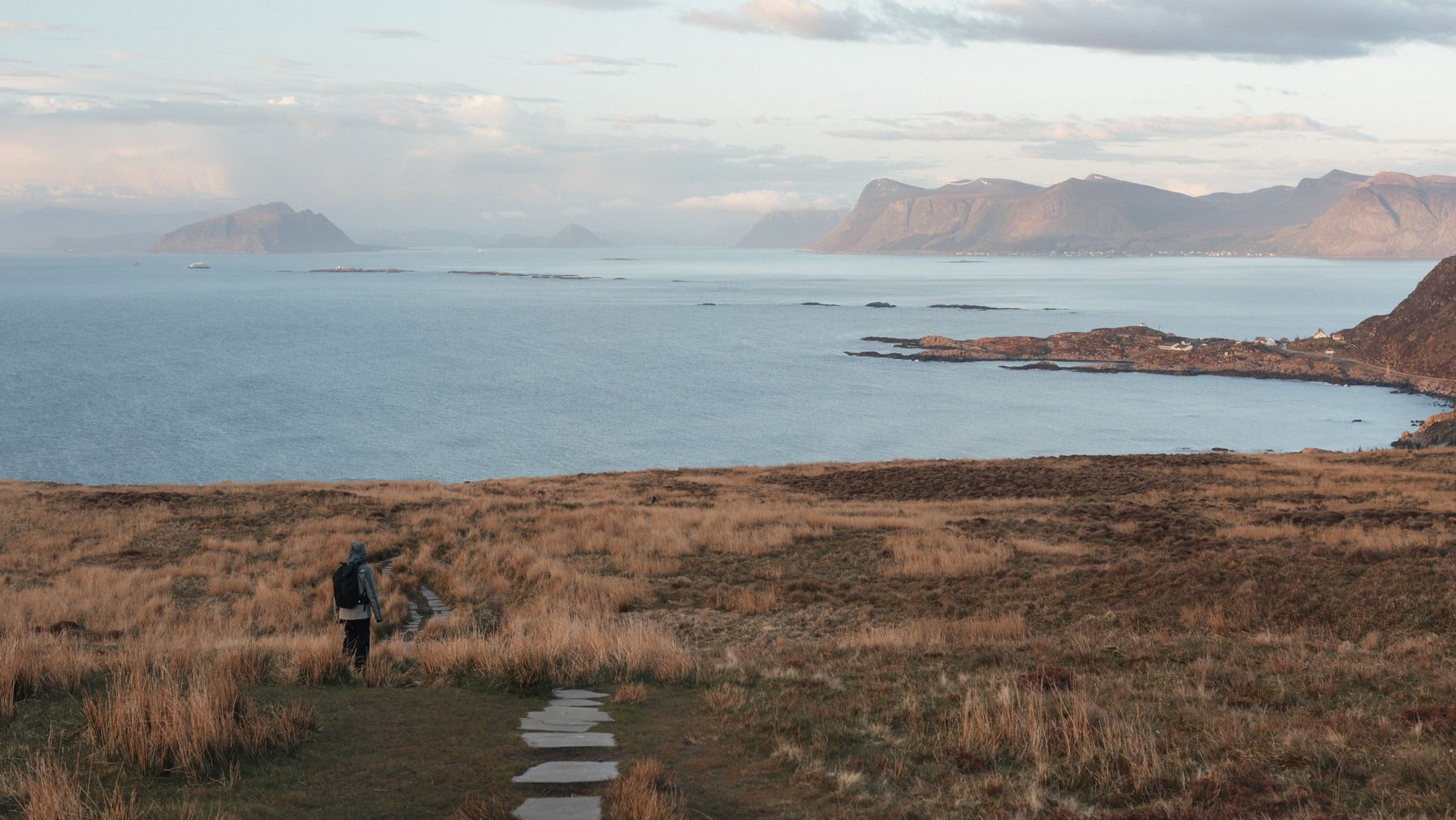

Norway is long enough to cross climates, but narrow enough that the sea is rarely an abstract presence. On a small map it resembles a clean strip of land attached to Sweden. Look closer and its western edge becomes almost impossible to summarize. The line folds into fjords, doubles around peninsulas, breaks into islands and splinters into skerries.
That geography produces a magnificent numerical mismatch. Norway extends roughly 1,750 kilometres from north to south, yet one established measurement puts its shoreline at 100,915 kilometres. Laid end to end, that coast would go around Earth’s equator about two and a half times.
The comparison is accurate within its stated method, but it is not the result of stretching a perfect measuring tape around an unchanging object. The total depends on which shores are included and how finely they are mapped. Norway is therefore both a spectacular geography lesson and one of the best real-world demonstrations that the length of a coastline is partly a question about the ruler.
The 100,915-kilometre figure has a recipe
The precise total appears in a published geographic table sourced to Statistics Norway and the Norwegian Mapping Authority. It covers the mainland together with its islands and lists 100,915 kilometres of coastline. A documented breakdown commonly associated with the figure assigns 28,953 kilometres to the mainland coast, including fjords and bays, and 71,963 kilometres to island shores. Those rounded components add to 100,916, one kilometre above the stated total, a tiny discrepancy caused by rounding in the underlying figures.
The ingredients are more important than that one-kilometre wrinkle. This is not merely the smooth outer edge visible on a classroom map. The measurement enters bays and fjords, follows their opposing sides and then traces the boundaries of islands, islets and skerries. It is a cumulative length of land meeting sea.
It is also a figure for what Norwegian statistics call the main land, not the whole Kingdom of Norway. The Norwegian Mapping Authority explains that this geographic unit includes the continental mainland plus islands, islets and skerries inside the baseline, while excluding Svalbard and Jan Mayen. Its guide to Norway’s extreme points is a useful reminder that even words such as mainland and main land require definitions here.
Islands create most of the extraordinary total
Nearly three quarters of the legacy measurement comes from island shores. That makes intuitive sense once area and perimeter are separated. A small rocky island contributes little land area, but every indentation along its edge adds to the coastline. Multiply that loop by tens of thousands of islands and smaller fragments of exposed land, and the total grows rapidly.
Fjords add length in a different way. A fjord is an inlet of the sea, so both sides remain coast even when the water reaches far inland. Norway has more than 1,000 fjords, and the largest branch into side arms, smaller fjords, bays and sounds. Sognefjord reaches about 205 kilometres into the country. Its shores do not replace the Atlantic-facing coast; they extend it.
This is why Norway’s coast is better imagined as a branching interface than a single border. From a boat, it can be difficult to tell where the outer coast ends and the inner coast begins. Readers hoping to see that geometry in person can start with our guide to Norway’s fjords, which moves from famous Geirangerfjord to the branches and island-studded waters around the country.
A shorter ruler discovers a longer shore
The hidden complication is known as the coastline paradox. Suppose a cartographer measures Norway with straight segments 100 kilometres long. Each segment jumps across smaller coves and headlands. Replace those with ten-kilometre segments and the line can follow more bends. At one kilometre it captures still finer features. The measured total generally rises each time the ruler shrinks.
Mathematician Benoit Mandelbrot popularized this problem in his 1967 paper How Long Is the Coast of Britain? He showed why irregular geographic curves do not behave like circles or other smooth shapes with a single, scale-independent perimeter. As finer features enter the calculation, the apparent length can keep increasing.
That does not make the Norwegian figure false or meaningless. Roads, borders and coastlines still need standardized measurements. It does mean that a coastline total should be treated as the output of a specified map, resolution and rule set, not as an immutable property like the number of atoms in a sample. Two careful agencies can measure the same shore and disagree simply because one dataset preserves more detail.
Modern mapping now returns a slightly bigger Norway
The 100,915-kilometre total is the established figure behind the two-and-a-half-times-around-Earth comparison. A Norwegian government report describes the coast as exceeding 100,000 kilometres when islands, skerries and islets are included, explicitly noting the same 2.5-equator equivalence.
More recent Norwegian references often give a total of about 102,936 or 102,937 kilometres. The Institute of Marine Research, for example, says the mainland coast is about 24,000 kilometres when fjords are followed, rising to almost 102,937 kilometres when islands are included.
Norway did not acquire roughly 2,000 kilometres of new coast through sudden geological growth. The change largely reflects newer, more detailed geographic data and measurement conventions. The legacy total remains a valid, sourced answer to a defined calculation. The newer number is the current answer to a more detailed one. Presenting the former without this context would make a fascinating fact sound more exact than coastline science allows.
The 1,750-kilometre comparison uses another ruler
The second half of the comparison is much less slippery. A Norwegian government geographic profile states that mainland Norway is 1,752 kilometres from north to south and spans about 13 degrees of latitude. That is the source behind the rounded 1,750-kilometre figure.
Even here, the wording deserves care. The number describes Norway’s overall north-to-south reach. It is not the length of the E6 motorway, a ferry route or a walk along the national edge. Nor should it be divided into 100,915 to conclude that the country is somehow 58 times longer around than it is tall. One measurement approximates a broad geographic span. The other accumulates thousands of nested curves.
The contrast is still revealing. A straight line is efficient: it gets from one endpoint to another. A Norwegian coastline does the opposite. It detours into deep glacial valleys, circles offshore land and repeatedly returns toward the open sea. Every detour adds kilometres without greatly increasing the country’s top-to-bottom dimension.
The geometry explains how Norway lives
This is more than cartographic trivia. Norway’s elaborate meeting of land and water has shaped settlement, transport, food and work. Fishing communities developed around access to rich waters. Harbours gained protection inside the coast’s folds. Ferries and coastal vessels became practical links between places divided by steep mountains, while fjords created navigable routes far into the interior.
The coast also complicates public services. Roads may need tunnels, bridges and ferry crossings to connect communities that look close together on a flat map. Weather forecasting, maritime rescue and environmental management must cover an enormous, fragmented boundary. The same geometry that creates spectacular views creates real logistical obligations.
Perhaps that is why the number feels so satisfying. It compresses an entire national relationship with the sea into one improbable comparison. The 100,915 kilometres are not evidence that Norway is secretly enormous. They show that perimeter and size are different things, and that an edge can contain far more geography than a silhouette suggests.
Zoom out and Norway’s coast becomes a tidy stroke. Zoom in and it opens into entrances, islands and edges nested inside other edges. The country remains roughly 1,750 kilometres from north to south. The closer its shoreline is examined, however, the longer Norway becomes.